- Transport
- Community map
Bridge
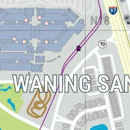
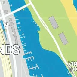
Transport · Waning Sands · Pin #2732





Nearby spots
The 6 closest spots on the map, measured in a straight line.
- Leith Riverabout 100 m north-west · Landmarks & nature#3751
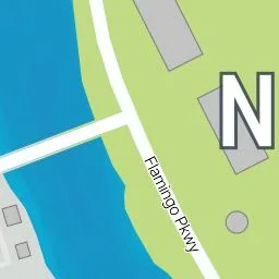
- Bridgeabout 200 m north-west · Waning Sands#2733
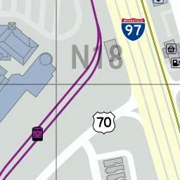
- Train Stationabout 350 m west · Waning Sands#1915
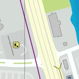
- Construction Siteabout 380 m north-west · Other buildings#160
- Lake Bonnerabout 590 m south-west · Landmarks & nature#1235
- Arrow Gas Stationabout 620 m west · Gas & car services#161