- Transport
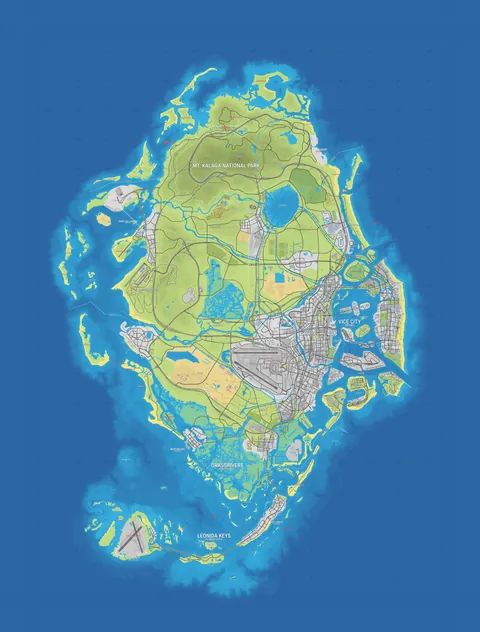
- Community map
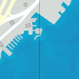
Intersection
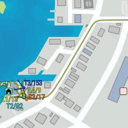
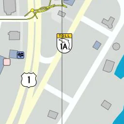
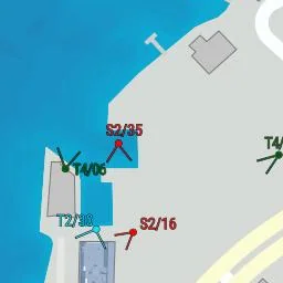
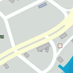
Transport · Key Lento · Pin #1337
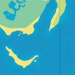
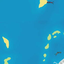
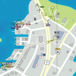
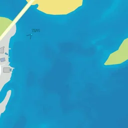
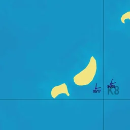
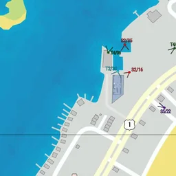
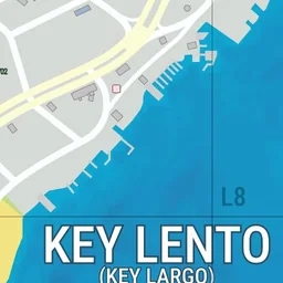

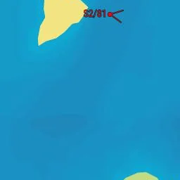
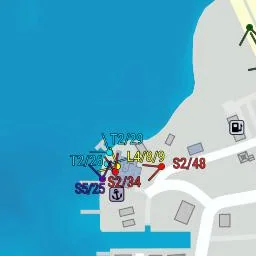
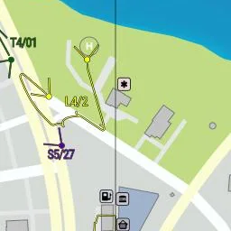

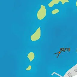

Nearby spots
The 6 closest spots on the map, measured in a straight line.
- House Babout 30 m north-west · Other buildings#504
- Jason's Houseabout 60 m west · Safehouses#266
- Yellow Houseabout 110 m north-east · Other buildings#1017
- Blue Houseabout 130 m north-east · Other buildings#1018
- White Houseabout 140 m north-east · Other buildings#1019
- Tattoo parlorabout 210 m north-east · Shops#3290